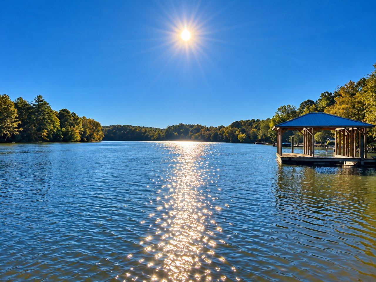
A buyer I was helping last year had two listings side by side. Same cove, same price band, both marked "waterfront." One had a dock. The other had a dock too, but the seller couldn't produce a permit tag, and when we asked Duke Energy for the history, we hit a wall. Duke doesn't share permit records with realtors, neighbors, or potential buyers. Only the recorded owner. So we asked the seller to pull it, and that's when the compliance issue surfaced. The dock had been widened at some point without approval. Under Duke's rules, that becomes the next owner's problem the moment the deed changes hands.
That's the piece the portals don't show you. On Lake James, the price gap between two "waterfront" listings often has less to do with the house than with which regulatory stack the lot inherited. And the stack is locked in before you write the offer.
The reference line nobody puts in the listing
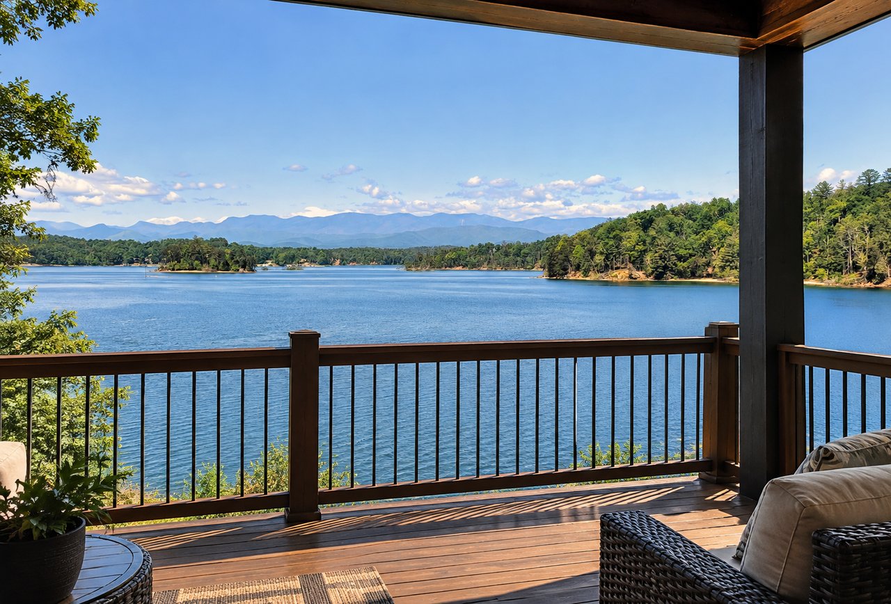
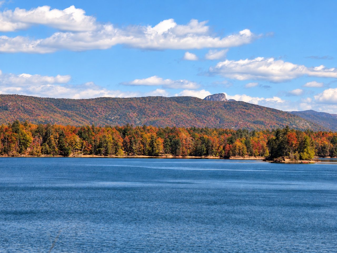
Lake James is a Duke Energy reservoir, the uppermost lake on the Catawba River system, sitting at a full-pond elevation of 1,200 feet above mean sea level with about 150 miles of shoreline across Burke and McDowell counties. Duke owns or controls the lakebed. Depending on the parcel, Duke also holds an upland buffer strip. The lake operates under a Federal Energy Regulatory Commission license, which requires Duke to maintain a Shoreline Management Plan that classifies every stretch of shoreline for what can and cannot happen there. Piers, boat shelters, excavations, rip-rap, dredging. All of it is mapped.
The listing agent's word "dockable" is really a shorthand for a Duke classification you can verify. If the classification says no new structures in that stretch of shoreline, the dock question is answered before you tour the property. That is the most useful pre-offer question I can think of on this lake, and it costs nothing to ask.
Same lake, two different rulebooks
Here is where Lake James gets genuinely strange. The Burke County side and the McDowell County side operate under different local ordinances even though they share water. Under Burke's Lake and River Overlay District, the jurisdiction extends 250 feet inland from the reference line, which the county defines as Duke's project boundary at 1,200 feet MSL or the official shoreline.
Inside that 250 feet, Burke stacks three concentric restrictions:
| Distance from reference line | What's allowed |
|---|---|
| 0 to 100 ft | Protected woodland buffer. No construction or land disturbance. One 4-ft access trail to the dock. Only dead, diseased, or hazardous trees may be removed. |
| 100 to 125 ft | Construction disturbance corridor. 25 ft of temporary maneuvering room for equipment during the build, replanted afterward. |
| 125 ft and beyond | New construction setback line for lots created after January 2004. |
A 15-ft corridor is allowed for delivering rip-rap for shoreline stabilization, and the material must be dispersed by hand or from the water by barge, then the corridor replanted inch-for-inch. Those specifics come from Burke County planning staff, quoted in morganton.com in a piece comparing the two counties' rules.
The practical effect: on a Burke lot, the buildable footprint starts 125 feet up the slope, not at the waterline. If the lot is 175 feet deep from reference line to back property line, you have 50 feet of usable building envelope after the setback, minus your side yards. On a steep cove lot, that math can eliminate a home design the buyer already had in their head. McDowell's rules on the north shore are structured differently, which is why comparing a Nebo-side listing to a Burke-side listing purely on price per waterfront foot misses the point.
Three words that hide three different deals
Listing copy tends to use "waterfront," "lake access," and "lakefront" interchangeably. On Lake James they mean different things.
Deeded waterfront with a permitted dock. Your lot touches the reference line and a Duke lake-use permit is attached to a specific structure with a tag number. This carries the largest premium and the most obligation. When you buy, the permit transfers through Duke's Lake Access Permit System, which involves a physical inspection of the dock. If the inspector finds unauthorized modifications, corrections fall to the new owner.
Community access. An HOA owns the shoreline amenities. That can mean assigned slips, lottery slips, a waitlist, a community dock, a ramp, or a small marina. The right questions here are about the HOA's reserve funding for dock maintenance, the slip assignment method, and any transfer fees. Communities you'll see repeatedly on Lake James include 1780, SouthPointe, Black Forest, The Arbor, Old Wildlife Club, Bear Cliff, Waters Edge, The Enclave, and Marion Lake Club.
Public access. The lot is near a boat ramp or Lake James State Park, which has two units at Catawba River and Paddy's Creek, 32.6 miles of trails, and a year-round bald eagle population. Public access is real access. It is also access shared with every other boater on the lake, which affects both weekend logistics and how the property appraises against a deeded comp.
Ambiguous deed language is where community and deeded blur. "Appurtenant," "exclusive," and "permissive" are not synonyms. A title attorney and a current survey showing the project boundary or full-pond contour with shoreline pins are the cleanest way to know what you're actually buying.
What the LAPS inspection catches
Duke's permitting FAQ is blunt about what happens at transfer. A Lake Services representative inspects the facility to confirm it was properly permitted and has not been modified without approval. If noncompliance turns up, the current owner is generally responsible for correcting the issue before the permit transfers.
That single sentence explains a large share of the closing-timeline surprises I see on this lake. Sellers who added a jet-ski platform, or replaced a fixed dock with a floating one, or expanded a boat cover, may have done it years ago without realizing Duke's permit didn't cover the change. The inspection catches it. Duke permits are also valid for only one year for installation, so an expired-but-unbuilt permit is essentially a dead letter.
A pre-offer checklist that catches most of this:
- Ask the seller to produce the Duke permit, the tag number physically on the dock, and any prior LAPS transfer records.
- Request Burke County Shoreline Protection Permit files for the parcel from the Planning and Zoning office, plus any zoning and building permits for decks, steps, retaining walls, and stabilization work.
- Order a current boundary survey that shows the project boundary line and the shoreline pins. Not the old plat. A new one.
- Read the HOA covenants specifically for dock size, cover type, and boat length limits. Duke does not enforce private covenants. An HOA can be stricter than the state or Duke, and that's the layer that catches buyers who assumed a Duke approval was the final word.
- Ask a marine contractor about water depth at the proposed slip location during winter drawdown, not just at full pond.
The market signal behind all this
Waterfront inventory on Lake James moved in 2026 at stronger price points than in 2025, and the dockable-versus-non-dockable split explains a large share of the spread. A "waterfront" listing without a transferable Duke permit and without a Burke or McDowell record of the buffer being respected is not comparable to a permitted-dock listing at the same price. Portals average them together. The market doesn't.
That is the thesis in one sentence. On Lake James, "waterfront" is a category, not a price. What you are actually buying is a stack of permits, a survey, a buffer, and a set of HOA rules that took decades to accumulate. The house sits on top of that stack.
FAQ
Can I build a new dock if the previous owner never had one? Only if the Duke shoreline classification for that stretch allows it. Submit through the Lake Access Permit System. Duke does not pre-approve structures. The application triggers a site inspection and a review against the Shoreline Management Plan.
Does the North Carolina Catawba riparian buffer add another layer? Yes. The state's Division of Water Resources oversees a 50-foot buffer with the first 30 feet undisturbed and the next 20 feet allowing limited uses. Some work needs written DWR authorization. USACE may also weigh in on rip-rap, fill, or dredging.
Why do lots on the McDowell side sometimes list at different price points than similar lots in Burke? Different county-level rules on setbacks, lot minimums, and buffer enforcement, plus different distances to Morganton, Marion, and I-40. Same lake, two markets.
How long does the Duke permit transfer take? Duke completes typical reviews in a few weeks, though timing depends on season and project type. Build the inspection into your closing timeline rather than assuming it will clear on a standard 30-day contract.
If you are weighing two Lake James listings and want a straight read on what the price gap actually reflects, that is exactly the conversation I like to have before an offer goes out. Reach out to Mark Causby Realty and we'll pull the survey, the permit, and the buffer map together and see what the stack really looks like.